Understanding AI in Remote Sensing
Welcome! If you’re curious about how artificial intelligence (AI) is revolutionizing remote sensing, you’re in the right place. Let’s dive into some of the most common questions people have, explained in an engaging and friendly way.
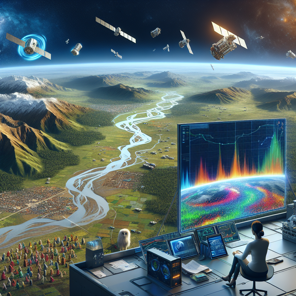
What is Remote Sensing?
Great question! Remote sensing is a way to gather information about an object or area from a distance, typically using satellites or aircraft. Think of it as a high-tech way to capture images and data about the Earth’s surface without being directly on the ground.
How is AI Used in Remote Sensing?
AI has a bunch of cool applications in remote sensing. Here are some of the big ones:
- Image Analysis: AI can analyze satellite images more quickly and accurately than humans. This helps in identifying patterns, such as changes in land use or the development of urban areas.
- Predictive Modeling: AI algorithms can predict weather patterns, climate change impacts, and even natural disasters like hurricanes and floods.
- Resource Management: AI can help manage natural resources by monitoring forests, oceans, and agricultural lands effectively.
Why is AI Important in Remote Sensing?
AI brings several advantages to the table:
- Efficiency: AI processes data faster, saving time and resources.
- Accuracy: Machine learning algorithms can identify subtle changes and patterns that might be overlooked by human analysts.
- Scalability: AI can handle vast amounts of data, making it possible to monitor large areas comprehensively.
Are There Any Challenges?
Absolutely, but they’re not insurmountable!
- Data Quality: AI is only as good as the data it’s trained on. Poor-quality or biased data can lead to inaccurate results.
- Complexity: Setting up and maintaining AI systems can be complex and requires specialized knowledge.
- Cost: Implementing AI solutions can be expensive, although costs are decreasing as technology advances.
How Can I Get Started with AI in Remote Sensing?
If you’re interested in diving into this exciting field, here are some steps you can take:
- Educate Yourself: Start with online courses that cover the basics of AI and remote sensing.
- Experiment: Use open-source tools and datasets to practice and develop your skills.
- Network: Join online forums and professional groups to connect with others in the field.
We hope this has answered your questions about AI in remote sensing! It’s a fascinating and rapidly evolving field with endless possibilities. If you have more questions, feel free to ask. Happy exploring!